About the Trail
Learn about our history and what to expect on the trail.
Our trail has an amazing history…since the latter 1800s, the former railroad has intimately tied us to our cultural and commercial roots.
The former rail line ceased operations in the 1970s. Since then, several attempts were undertaken to develop a recreational corridor along the old rail bed, but these proved unfruitful. The City of Bristol, VA deeded the property to Mountain Heritage, Inc. (MHI) in 2016, a nonprofit organization that had an established record of successful trail development. Under their leadership, two trestles were restored, and six miles of the trail were opened to the public.
The property was subsequently transferred to a new nonprofit, Mendota Trail Conservancy, Inc., in 2020. Since then, an additional fifteen trestles have been restored and as of August, 2023 the 12.5 mile trail is fully connected between Bristol and Mendota! The property has now been transferred to Washington County, Virginia.
About the route,,,, (and all the details!)
Trail access is available at the Bristol Trailhead (3460 Island Rd., Bristol, VA), in the community of Benhams (7720 Rich Valley Rd,, Bristol, VA), and at the Mendota Trailhead (across from 2421 Mendota Rd., Mendota, VA). Mile markers run south to north from Bristol (0.0) to Mendota (12.5) in half mile increments.
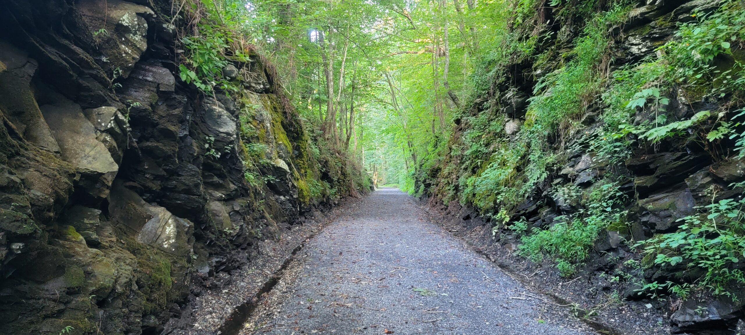
The Bristol elevation on the southern end is 1740 feet and the Mendota terminus has an elevation of 1340 feet. The high point of the trail is 2100 feet at mile marker 2.7. The first 0.4 mile asphalt section on the Bristol end is fully ADA accessible with an accompanying ramp leading to the trail. The remainder of the route is a combination of cinder railroad bed, gravel, crushed stone, dirt, and grass. Mountain bikes are recommended.
The route includes multiple creek crossings and seventeen restored trestle bridges. At mile marker 11.5, the trail crosses the North Fork of the Holston River via the restored Sunny Side Trestle, which is paralleled by a 275-foot-long swinging bridge. Great photo op!
As a rail trail, it is largely railroad grade… nearly flat or up to a 3 % maximum. There are two exceptions to this where bypass paths were necessitated by the prior removal of trestles for roadway improvements. These short bypass routes are at mile marker 1.0 and mile marker 10.7 and have short grades approaching 8%.
Amenities include a covered pavilion with picnic tables and a seasonal restroom in Bristol. Port-a-potties are available year-round in Benhams and Mendota, and during the off-season in Bristol. Additional picnic tables are available creekside in “the gorge,” an especially scenic segment of the trail between mile markers 7.0 and 9.6.
Mendota has a charming eatery, The Store, open for light lunches and delicious treats Wednesday – Sunday, 11 a.m. to 5 p.m.
The trail is owned and maintained by Washington County, Virginia as a county park. Be advised that cell service is absent or very limited over much of the trail due to its remoteness. Dogs are welcome, though they must remain leashed. Equestrian usage is not permitted.
- Open dawn to dusk
- No trespassing on adjacent property
- No motorized vehicles
- No littering, tobacco products, alcohol, or drugs
- No hunting or discharge of firearms
- Minors must be accompanied by adults
- No animals other than leashed non-vicious dogs *Dog waste must be disposed of properly
- Equestrian use is not permitted
Trail users do so as their own risk and by using the trail waive all claims of injury or property damage against trail owner, its agents, volunteers, employees, contractors, board members, and representatives.
Trail Etiquette
Courtesy is Contagious!
- You don’t make a good hood ornament. Please stop at all road crossings!
- This is a trail, not a speedway. If riding a bike, keep it under 20 mph when around others.
- The trail is not a silent disco. Please keep one ear open.
- Bikers defer to walkers, runners, and dog walkers for right of way.
- Stay to the right side of the trail. Practice Southern hospitality by saying “on your left” or using your bell when passing.
- Please carry out your trash.
- Please clean up after your dog.
- Notify us at info@mendotatrail.org if you see any safety issues or trail maintenance needs.
Thanks to Greenville County, SC Parks Recreation & Tourism

How much of the trail is open?
12.5 miles between Bristol and Mendota. The first half mile out of Bristol is paved & ADA compliant.
When is the trail open?
The trail is open from dawn to dusk, 365 days a year.
Are horses allowed on the trail?
Can I bring my dog?
Is there cell service?
Are there restrooms?
There is a port-a-potty located at all 3 parking areas. There is a restroom at the Bristol Trailhead which is open Spring, Summer & Fall
Are e-bikes allowed?
Class 1 & 2 e-bikes are allowed. Please slow down when approaching or passing other trail users.
Are mobility scooters allowed?
Single-person, battery-operated mobility scooters are allowed.